


Yesterday the large upper trough along the Pacific coast produced more wind, rain and snow in the Pacific Northwest. Winds gusted to more than 80 miles per hour along the coast, and there were blizzard conditions in the mountains where snowfall in the Washington and Oregon Cascades totaled from one to three feet.
 |
| CoCoRaHs snowfall map for Washington for December 18, 2012 |
 |
| Forecast surface map for 7:00 EST December 19 |
In the mountains of northwest Colorado up to 20 inches of snow is expected, and to the east significant snowfall is expected from Nebraska to the upper Great Lakes. Another system moving in from the Pacific will being more heavy snow to the Pacific Northwest.
 |
| Probability of 4 or more inches of snow for the period from Wednesday evening to Thursday evening (left), and from Thursday evening to Friday evening (right). |
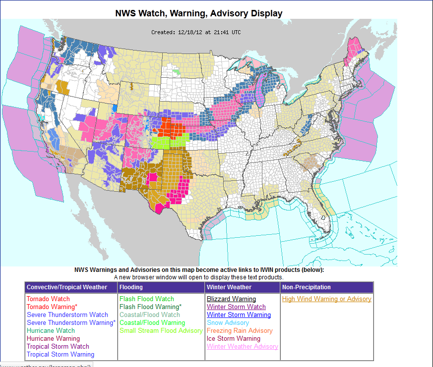 |
| Watch/warning map valid as of 4:45 pm EST December 18. Orange is a Blizzard Warning. Pink is a Winter Storm Warning. Blue area surrounding pink is a Winter Storm Watch. |